Hydrologic Assessment for Mammoth Mountain Ski Area’s Land Exchange
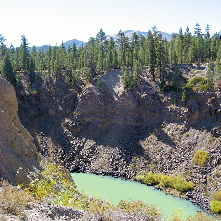
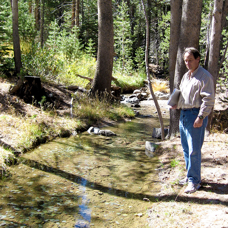
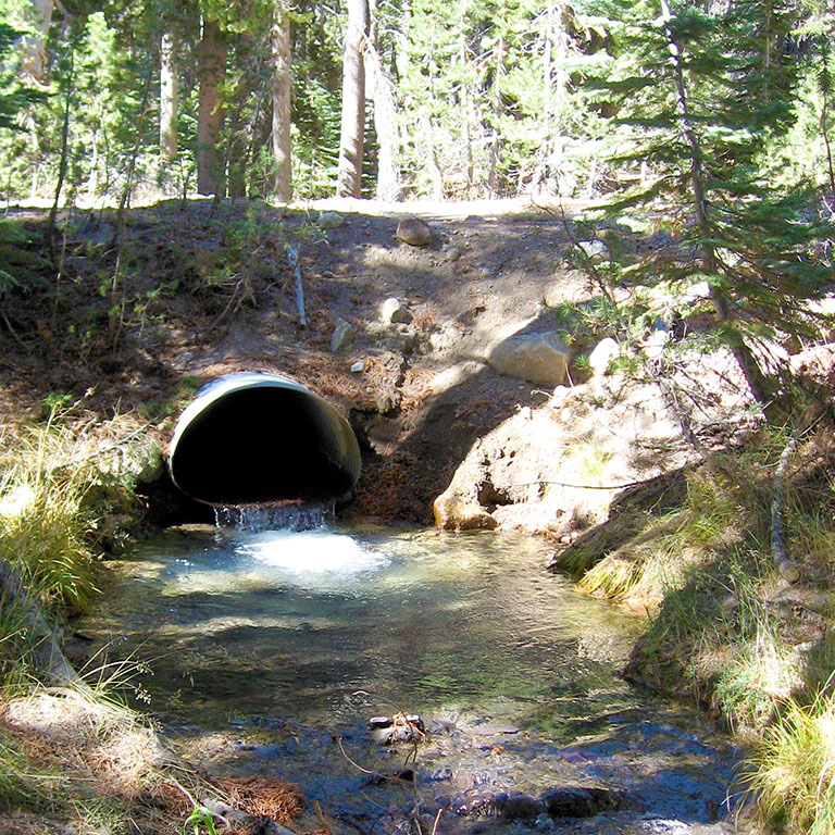
For a complex land transfer proposal between Mammoth Mountain Ski Area (MMSA) and the Inyo National Forest, TEAM was called in early to provide critical data that helped pave the way to ultimate approval. Conducted in cooperation with the Mammoth Community Water District and the United States Forest Service (USFS), the primary task was a water resources evaluation. The work involved developing a conceptual model and preliminary numerical groundwater flow model of the Dry Creek watershed, conducting field investigations to evaluate hydrogeologic parameters identified to be sensitive, and finalizing the groundwater flow model by updating parameters and boundary conditions based on data from field investigations and incorporation of 15 years of available groundwater level data.
Key hydrologic data were gathered including groundwater level measurements, estimates of Dry Creek stream flow at several locations, and completion of 48-hour constant discharge and recovery tests on wells owned by the Mammoth Community Water District. Additionally, three new groundwater monitoring wells were installed near Owens River. These wells provided important information regarding conditions and aquifer materials in the lower watershed where data were absent.
The information developed by TEAM provided a key piece of the environmental assessment for this complex project. TEAM also assisted with environmental site assessments for several of the proposed properties to be transferred to the USFS and prepared a technical summary report regarding the related MMSA Wastewater Treatment Facility. After a multi-year legislative process, the Mammoth Base Land Exchange was approved by the USFS in 2019, paving the way for a major redevelopment project of the main lodge area of Mammoth Mountain Ski Area.